 (Lee McClellan photo)
By Lee McClellan, Kentucky Afield Outdoors
This article is the twenty-eighth in the periodic Blue Water Trails series highlighting the floating, fishing and tourism opportunities on Kentucky’s streams and rivers.
Study of the Kentucky border in Simpson County reveals a funny-looking half triangle just south of Franklin.
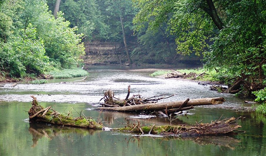
A surveying party in the fall of 1780 used a marked beech tree along the West Fork of Drakes Creek as a point of reference, but wandered decidedly off course to the south.
Dr. Thomas Walker, commissioned to draw the boundary between the far western sections of North Carolina and Virginia before the creation of Kentucky and Tennessee, discovered the error. The surveyors simply...